Loading
Archive
Latest Posts
Night light of Bangladesh (1992 – 2023)
The National Oceanic and Atmospheric Administration (NOAA) of the United States has adopted an exemplary approach to gauge a country’s economic development. Since 1992, a Defense Meteorological System satellite has been capturing nighttime images across the globe. However, NOAA’s servers hold only one image per day for research purposes. In 2014, a new satellite replaced the obsolete one, equipped with.. Read more
Ohio Earthquakes
One of the projects that I did while working at the Ohio Geological Survey, a division of ODNR.

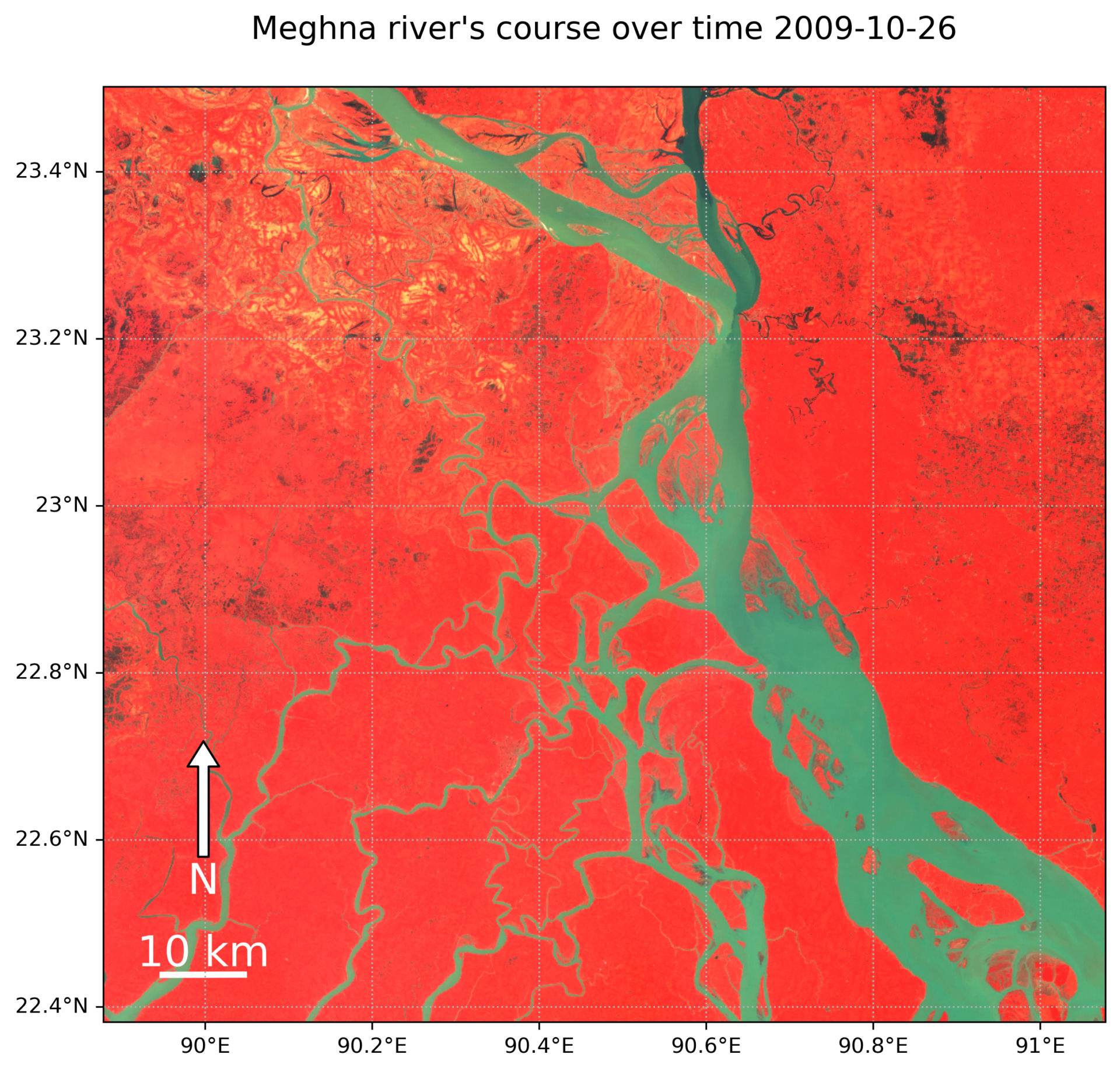
Watching the Change of Meghna in Bangladesh: 1988 to 2011
I made this animation using only Landsat 5 data because Landsat 7 had strange stripe-like patterns that didn’t look good. I put together this cool animation using Python and the Geemap library, which connects to Google Earth Engine to make it all happen. Want to do more cool stuffs? Let’s collaborate! info@tasnimalam.com


+
+