
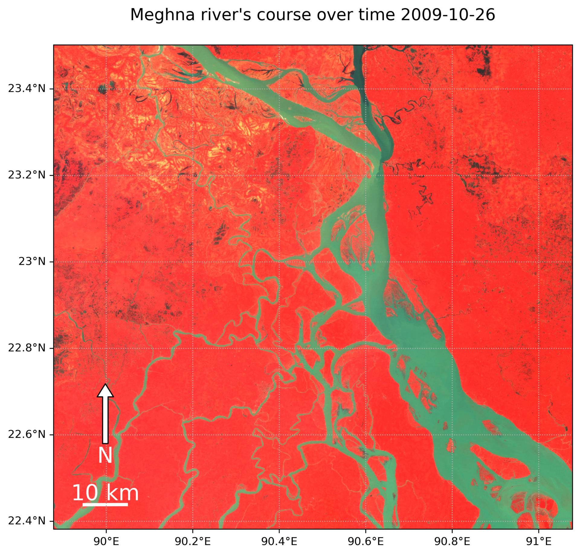
I made this animation using only Landsat 5 data because Landsat 7 had strange stripe-like patterns that didn’t look good. I put together this cool animation using Python and the Geemap library, which connects to Google Earth Engine to make it all happen.
Want to do more cool stuffs? Let’s collaborate!